E X P L O R E
Jak se orientovat na 4 největších tokijských stanicích — Shinjuku, Shibuya, Tokyo a Ikebukuro
Mapy nástupišť, umístění bran a časy přestupů na nejsložitějších tokijských stanicích.

This article contains affiliate links. tokyo.how may earn a commission at no extra cost to you if you make a purchase through these links. This does not influence our editorial content.
Why Tokyo’s Terminal Stations Are So Confusing
The reason Tokyo’s big stations are so disorienting is that multiple railway companies share the same station name. Take “Shinjuku Station” — it’s actually five separate stations operated by JR East, Tokyo Metro, Toei Subway, Odakyu, and Keio, all connected by underground passages into one enormous complex.
Each company has its own ticket gates. Walk through the wrong one and you’ll end up far from your intended platform.
| Station | Operators | Lines | Defining feature |
|---|---|---|---|
| Shinjuku (新宿) | 5 | 11 | Overwhelming number of gates and exits |
| Shibuya (渋谷) | 4 | 9 | Platforms spread across 3F down to B5F |
| Tokyo (東京) | 3 | 7 conventional + 6 Shinkansen + 1 Metro | Long north-south structure |
| Ikebukuro (池袋) | 4 | 8 | East and west exits feel reversed |
Transfers at Shinjuku Station
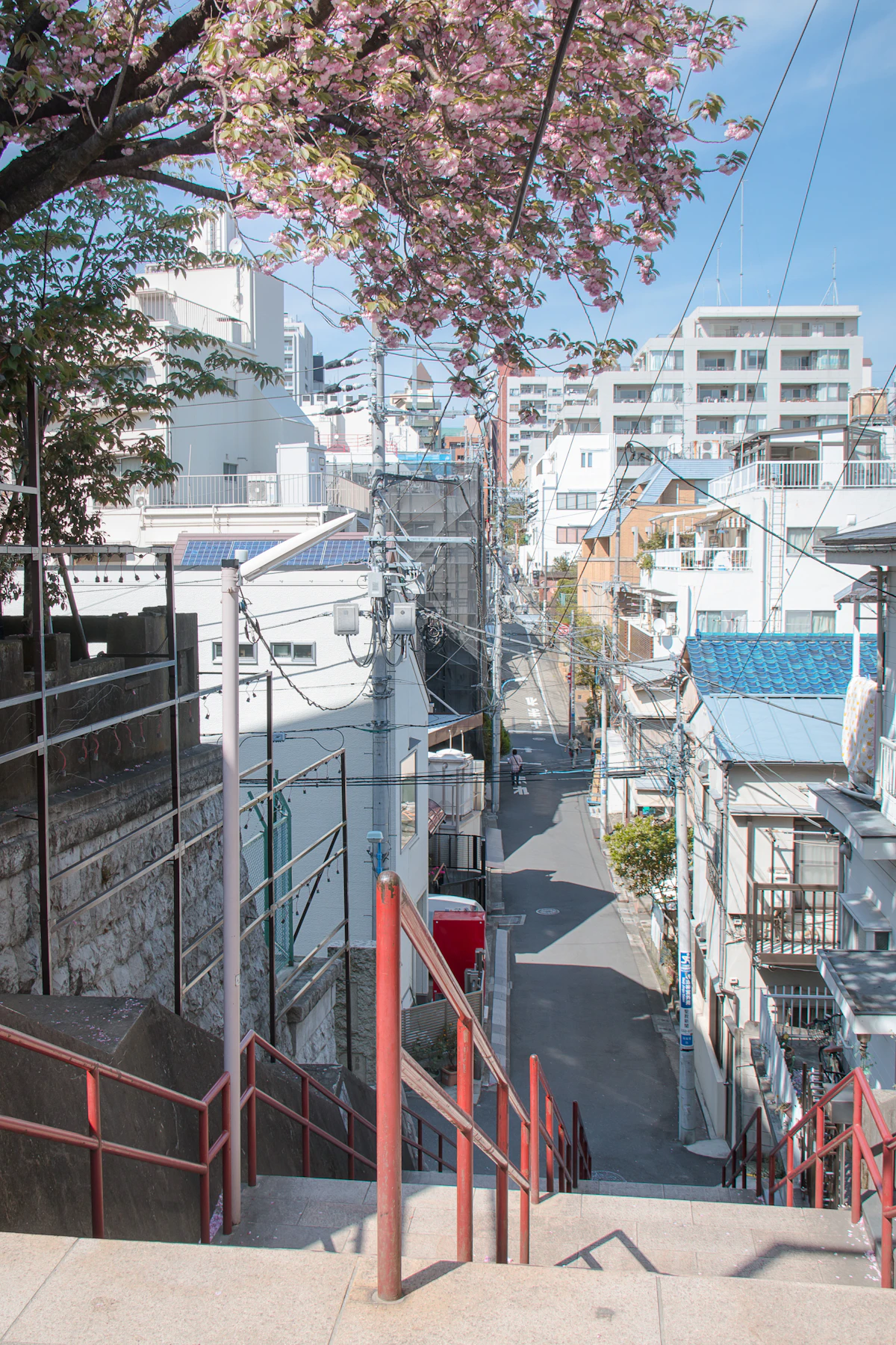
JR East’s FY2024 data puts daily boardings at roughly 667,000 — the busiest station on the entire JR network.
Shinjuku Station holds a Guinness World Record as the world’s busiest station with approximately 2.7 million daily users. Five operators serve it: JR, Tokyo Metro, Toei Subway, Odakyu, and Keio.
Choosing the Wrong Gate Means a Long Detour
JR’s ticket gates at Shinjuku include the East Exit (東口 / Higashi-guchi), West Exit (西口 / Nishi-guchi), South Exit (南口 / Minami-guchi), and New South Exit (新南口 / Shin-Minami-guchi). Which one is closest depends on which platform you arrived on. Look up the right exit for your connecting line before you leave the platform.
| Transfer to | Gate / Route | Approx. time |
|---|---|---|
| Marunouchi Line (M08) | JR West Exit → underground passage | ~3–4 min |
| Odakyu Line | JR South Exit → direct connection | ~3 min |
| Keio Line | JR West Exit → toward Keio Department Store | ~5 min |
| Toei Ōedo Line (E27) | JR West Exit → underground toward Tokyo Metropolitan Government | ~7–8 min |
| Toei Shinjuku Line (S01) | From the Marunouchi Line gates via underground passage | ~5 min |
The Marunouchi Line is the only Tokyo Metro line at Shinjuku. Head out the JR West Exit and into the underground passage — it’s a straightforward route worth remembering.
Pokud plánujete během dne přesedat na metro vícekrát — třeba Shinjuku → Asakusa → Ginza → Roppongi — vyplatí se Tokyo Subway Ticket prodávaný přes Klook, který pokrývá neomezené jízdy na všech linkách Tokyo Metro a Toei Subway po dobu 24, 48 nebo 72 hodin. Tarif pouze pro turisty, vyzvedávat se dá na letišti nebo v Shinjuku.
Seibu-Shinjuku Station Is Not “Shinjuku Station”
Seibu Railway’s Seibu-Shinjuku Station (西武新宿駅) is a separate building roughly 400 meters north of JR Shinjuku. There’s no direct underground connection — you need to walk above ground. First-timers should allow about 10 minutes for the walk.
Transfers at Shibuya Station

Shibuya Station is in the middle of a massive redevelopment project targeting completion around FY2034. Corridors and gate positions shift as construction progresses, so follow the latest signage inside the station.
The biggest challenge at Shibuya is the vertical spread.
| Floor | Line |
|---|---|
| 3F | Ginza Line (G01) |
| 2F | JR Yamanote Line, Saikyō Line, Keio Inokashira Line |
| B3F | Den-en-toshi Line / Hanzōmon Line (Z01) |
| B5F | Tōyoko Line / Fukutoshin Line (F16) |
Floor layout can be confirmed on Tokyu Railway’s Shibuya Station Map.
The Ginza Line has its platform on the 3rd floor — a “subway” that sits above ground. Shibuya sits in a valley, which is why the subway runs elevated here. If you head down expecting to find it underground, you’re going the wrong way.
Transferring from the Ginza Line (3F) to the Tōyoko Line (B5F) means moving 8 floors vertically. That’s several escalator rides and 5–7 minutes. Without a time buffer, it gets stressful.
Main Transfer Routes
| From | To | Approx. time |
|---|---|---|
| JR | Ginza Line | ~3–4 min (from Hachikō Exit / ハチ公改札, go up to 3F) |
| JR | Tōyoko Line / Fukutoshin Line | ~5–6 min (go down to B5F) |
| JR | Den-en-toshi Line / Hanzōmon Line | ~4–5 min (from Hachikō Exit to B3F) |
| Ginza Line | Tōyoko Line | ~5–7 min (from 3F down to B5F) |
| Tōyoko Line | Inokashira Line | ~6–8 min |
A new JR station building (6 stories above ground) is expected to open around FY2026, and the Shibuya Scramble Square Phase II (Central and West towers) is scheduled for completion around FY2031. During construction, temporary signage is your best guide.
Transfers at Tokyo Station
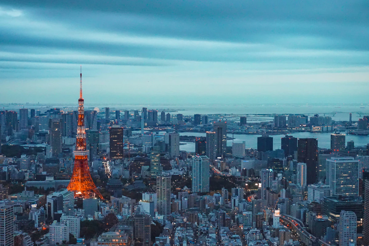
Tokyo Station is Japan’s central hub where conventional lines, Shinkansen, and subway converge. The iconic red brick building faces the Marunouchi (west) side.
Tokyo Station is split between the Marunouchi side (west) and the Yaesu side (east), and the two halves feel like different buildings. The Tokyo Metro Marunouchi Line (M17) gates are on the Marunouchi side near the red brick building. The Tōkaidō Shinkansen and Tōhoku/Hokuriku Shinkansen gates are concentrated on the Yaesu side. The red brick building stretches about 335 meters north to south, and the east-west free passage alone is about 290 meters — go the wrong direction and you’ll lose over 5 minutes.
Use the 「のりかえ口」 (Norikae-guchi / Transfer Gate)
When transferring from conventional lines to the Shinkansen, use the 「のりかえ口」 (norikae-guchi / “transfer gate”) inside the paid area. This lets you switch without exiting through the main gates. IC cards (Suica, PASMO, etc.) handle the fare calculation automatically.
If you accidentally exit through the 「出口」 (deguchi / “exit”) gates, you’ll be outside the paid area — with a paper ticket, you may need to buy a new one. Follow signs that say 「のりかえ」 (norikae / “transfer”).
| From | To | Approx. time | Key point |
|---|---|---|---|
| JR conventional lines | Tōkaidō Shinkansen | ~5–7 min | Central Transfer Gate or South Transfer Gate (新幹線中央のりかえ口 / 南のりかえ口) |
| JR conventional lines | Tōhoku/Hokuriku Shinkansen | ~5–7 min | North Transfer Gate or South Transfer Gate (北のりかえ口 / 南のりかえ口) |
| JR conventional lines | Marunouchi Line (M17) | ~4–5 min | Via Marunouchi Underground Central Exit (丸の内地下中央口) |
| Marunouchi Line | Tōkaidō Shinkansen | ~5–6 min | Cross from the Marunouchi side to the Yaesu side |
| JR conventional lines | Keiyō Line | ~15–20 min | Deep underground at the southern end |
Treat the Keiyō Line Platform as a Separate Station
The Keiyō Line (京葉線 / Keiyō-sen) platform sits deep underground at Tokyo Station’s southern end. First-timers should expect 15–20 minutes for the walk. Even JR’s own timetables set the standard Shinkansen-to-Keiyō transfer time at 20 minutes.
If you’re heading to Tokyo Disney Resort (Maihama Station / 舞浜駅), you’ll use the Keiyō Line — leave plenty of extra time.
Transfers at Ikebukuro Station
Ikebukuro has 4 operators and 8 lines, but its layout is the simplest of the four stations.
Ikebukuro has a famous trap: the East Exit leads to Seibu Department Store, and the West Exit leads to Tobu Department Store. You’d expect “Seibu” (literally “west-military”) on the west side and “Tobu” (literally “east-military”) on the east, but it’s the opposite. Locals remember it as “東が西武で西が東武” (Higashi ga Seibu de, Nishi ga Tōbu / “Seibu is on the east, Tobu is on the west”).
| From | To | Approx. time |
|---|---|---|
| JR | Seibu Ikebukuro Line (SI01) | ~3 min (from South Gate to 1F) |
| JR | Tobu Tōjō Line (TJ01) | ~3 min (from North Gate, straight ahead) |
| JR | Marunouchi Line (M25) | ~3–4 min (from Central Gate to B1F) |
| JR | Yūrakuchō Line (Y09) / Fukutoshin Line (F09) | ~4–5 min (from Central Passage to B2F) |
| Seibu Ikebukuro Line | Tobu Tōjō Line | ~5–6 min (south end to north end) |
Using JR’s Central Gate as your reference point: go south for Seibu, go north for Tobu. Remember this north-south relationship and you’ll rarely get lost at Ikebukuro.
Rush Hour Congestion
According to the Ministry of Land, Infrastructure, Transport and Tourism’s FY2024 survey, the average morning rush congestion rate in the Tokyo area is 139%. The congestion rate scale defines 150% as “shoulders touching” — 139% is slightly below that threshold.
Some lines, however, far exceed the average.
| Line | Most crowded section | Congestion rate |
|---|---|---|
| Tokyo Metro Hibiya Line | Minowa → Iriya (三ノ輪 → 入谷) | 163% |
| JR Saikyō Line | Itabashi → Ikebukuro (板橋 → 池袋) | 163% |
| JR Chūō Line Rapid | Nakano → Shinjuku (中野 → 新宿) | 161% |
If you need to transfer between 7:30 and 9:00 AM, the flow of people on the platforms slows to a crawl. Review our Tokyo etiquette guide for train manners during rush hour. Expect 1.5–2x the normal transfer time. After 10:00 AM, congestion drops significantly. If your schedule allows, simply avoiding the morning peak makes a noticeable difference. Check last train times too, so you’re not caught off guard at the other end of the day.
Když se něco pokazí
| Situace | Co dělat |
|---|---|
| Exited through the wrong gate | With an IC card (Suica, etc.), re-enter normally. With a paper ticket, explain the situation at the staffed gate window (有人窓口 / yūjin madoguchi) |
| Can’t find the right platform | Look for line colors and station numbers (M08, G01, etc.) on overhead signs (案内板 / annai-ban) |
| Missed your transfer connection | Yamanote Line and Metro trains run every 3–5 minutes. Wait for the next one |
| Construction rerouted the corridor | Follow the temporary signs (仮設の案内表示 / kasetsu no annai hyōji). Asking a station attendant is the surest option |
| Can’t read Japanese | Show the station name or line name on your phone screen. Say 「すみません」 (sumimasen / “excuse me”) and people will help |
Station signage is displayed in four languages: Japanese, English, Chinese, and Korean. But regardless of your language, line colors and station numbering are universal. Following the colors and numbers is the most reliable way to navigate.
| Line | Color | Symbol |
|---|---|---|
| Marunouchi Line (丸ノ内線) | Red | M |
| Ginza Line (銀座線) | Orange | G |
| Hanzōmon Line (半蔵門線) | Purple | Z |
| Fukutoshin Line (副都心線) | Brown | F |
| Yūrakuchō Line (有楽町線) | Gold | Y |
| Hibiya Line (日比谷線) | Silver | H |
| JR Yamanote Line (山手線) | Yellow-green | — |
Alternativy to Complex Transfers
If you’d rather skip the in-station maze, other options exist.
- Taxi: For station-to-station hops like Shinjuku to Shibuya or Shibuya to Ikebukuro, a taxi is the easy choice when you have luggage. Base fare is ¥500, with ¥100 added every 255 meters. Shibuya to Shinjuku (~4.7 km) runs about ¥2,000 during daytime, standard conditions.
- Toei Bus: Accepts Suica. Flat fare of ¥210. No station corridors to navigate, and you get to see the city from street level.
- Walking: Shibuya to Harajuku is just one station apart (~1.1 km), about 15–20 minutes on foot. On a nice day, walking can actually be less confusing than finding the right platform.
- Letištní limuzínový autobus: Vyhněte se přesedání ve vlakové síti hned po příletu na Naritu nebo Hanedu. Přímé spoje do Shinjuku, Ikebukuro, Tokyo Disney Resortu a dalších klíčových uzlů, s pomocí personálu s zavazadly. Mobilní QR rezervace přes Klook ušetří čas na přepážce.
Useful Transfer Apps
| App | Features | Languages |
|---|---|---|
| Google Maps | Route search with real-time transit info. Works worldwide | Multilingual |
| NAVITIME for Japan Travel | Comprehensive navigation app for visitors to Japan | 13 languages |
| Japan Transit Planner (Jorudan) | Rail-focused transfer search | 13 languages |
| Tokyo Metro For Tourists | Official Tokyo Metro app. Free | 6 languages |
Google Maps is the easiest to start with, but NAVITIME and Jorudan provide Japan-specific details like platform numbers and boarding positions that Google Maps sometimes lacks. Make sure you have mobile data set up before arriving — see our SIM and eSIM guide for options.
Související články
- How to Buy and Use a Suica Card — The IC card for trains, buses, and convenience stores
- Tokyo Etiquette Guide — Train manners and social norms
- Luggage Storage & Coin Locker Guide — Stash your bags before navigating a transfer
- Tokyo Last Train Guide — For late-night transfers
- Japan Travel Internet Guide — Get connected for map navigation and transit apps
- Is the JR Pass Worth It? — Cost breakdown to decide if the pass saves you money
Zdroje:
- JR East “FY2024 Station Ridership Data” https://www.jreast.co.jp/press/2025/20250912_ho03.pdf (accessed: 2026-02-28)
- Ministry of Land, Infrastructure, Transport and Tourism “FY2024 Urban Railway Congestion Rate Survey Results” https://www.mlit.go.jp/report/press/tetsudo04_hh_000138.html (accessed: 2026-02-28)
- Guinness World Records “Busiest Station” https://www.guinnessworldrecords.jp/world-records/busiest-station (accessed: 2026-02-28)
- Tokyo Metro “Station Ridership Rankings (FY2024)” https://www.tokyometro.jp/corporate/enterprise/passenger_rail/transportation/passengers/index.html (accessed: 2026-02-28)
- Tokyu Corporation, JR East, and Tokyo Metro “Shibuya Station District Plan, Final Phase” https://www.tokyu.co.jp/company/news/detail/56376.html (accessed: 2026-02-28)
- JR East “Shibuya Station Improvement Notice” https://www.jreast.co.jp/press/2025/20250509_ho01.pdf (accessed: 2026-02-28)
- JR Central “Tokyo Station Map” https://railway.jr-central.co.jp/station-guide/shinkansen/tokyo/map.html (accessed: 2026-02-28)
- Agency for Cultural Affairs “Tokyo Station Marunouchi Building” https://bunka.nii.ac.jp/heritages/detail/187936 (accessed: 2026-02-28)
- JR East “Tokyo Station Area Development” https://www.jreast.co.jp/press/2021/20220310_ho01.pdf (accessed: 2026-02-28)
- Japan Association of Private Railways “Congestion Rate” https://www.mintetsu.or.jp/knowledge/term/16370.html (accessed: 2026-02-28)
- Tokyo Hire-Taxi Association “Taxi Fare Table” https://taxi-tokyo.or.jp/call/pricelist.html (accessed: 2026-02-28)
FAQ
- Proč je navigace na velkých stanicích v Tokiu tak matoucí?
- Několik železničních společností sdílí stejný název stanice, ale provozuje samostatné turnikety a nástupní plošiny. Například stanice Shinjuku je ve skutečnosti pět samostatných stanic provozovaných společnostmi JR East, Tokyo Metro, Toei Subway, Odakyu a Keio — všechny propojené podzemními chodbami. Průchod špatným turniketem vás může zavést daleko od zamýšlené plošiny.
- Jak přestoupit na stanici Shinjuku bez ztracení?
- Použijte výstup odpovídající vaší navazující lince: Západní výstup vede k lince Marunouchi a lince Keio, Jižní výstup k Odakyu a plošiny JR slouží jako centrální uzel. Přestup na linku Toei Oedo trvá od Západního výstupu přibližně 7-8 minut. Zkontrolujte svůj cíl před opuštěním plošiny.
- Je stanice Seibu-Shinjuku stejná jako stanice Shinjuku?
- Ne. Stanice Seibu-Shinjuku je úplně samostatná budova přibližně 400 metrů severně od stanice JR Shinjuku, bez přímého podzemního spojení. Musíte jít po povrchu, což trvá přibližně 10 minut. Nezaměňujte tyto dvě stanice při plánování přestupů.
- Jak dlouho trvá přestup na linku Keiyō na stanici Tokio?
- Počítejte s 15-20 minutami. Plošina linky Keiyō leží hluboko pod zemí na jižním konci stanice Tokio a je v podstatě vlastní samostatnou stanicí. Dokonce i jízdní řády JR stanovují standardní dobu přestupu ze Shinkansenu na Keiyō na 20 minut. To je zvlášť důležité, pokud jedete do Tokyo Disneylandu (stanice Maihama).
- V jakém patře se nachází plošina linky Ginza na stanici Shibuya?
- Plošina linky Ginza se nachází ve 3. patře — nad zemí, ne pod zemí. Shibuya leží v údolí, proto tato linka metra jezdí v nadzemní výšce. Pokud jdete dolů hledat ji, jdete špatným směrem. Linky Den-en-toshi a Hanzomon jsou v B3F a linky Toyoko a Fukutoshin v B5F.
- Jak špatné jsou špičky v tokijských vlacích?
- Průměrná míra přeplněnosti v dopoledních špičkách v Tokiu je 139 %, což znamená husté davy, ale obecně stále zvládnutelné. Nicméně některé linky dosahují 163 % — ekvivalent cestujících s rameny dotýkajícími se v celém vagonu. Pokud vám váš rozvrh dovolí, cestování po 10:00 dělá znatelný rozdíl. Počítejte s tím, že přestupy budou trvat 1,5-2x déle v době špičky 7:30-9:00.
- Jaká je nejlepší aplikace pro navigaci přestupů vlaku v Tokiu?
- Google Maps funguje dobře jako výchozí bod pro hledání tras. Pro detaily specifické pro Japonsko, jako jsou přesná čísla plošin a pozice nastupování, jsou NAVITIME for Japan Travel nebo Jorudan (Japan Transit Planner) spolehlivější. Obě podporují 13 jazyků. Ujistěte se, že máte nastavena mobilní data před příjezdem do Tokia.
* Tento článek byl přeložen z japonského originálu s pomocí strojového překladu. Některé formulace nemusí znít přirozeně.


